Loading…

Paso Robles, California
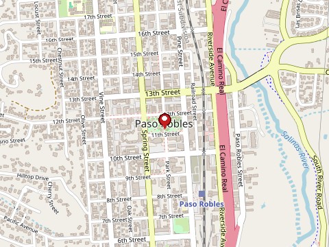
Map: OpenStreetMap contributors
The Paso Robles area holds real, deep Indigenous history: the region was home to a Salinan village site occupied for an estimated 3,000 years, in territory that borders traditional Chumash lands to the south, and the descendants of both peoples consider this land sacred today. The Salinan people, once wrongly declared extinct by the 1930 U.S. Census, have survived and are pursuing federal tribal recognition. No specific news coverage, historical record, or independent source could be found to confirm a burial ground near the Paso Robles airport itself or the specific claim of nightly lights and voices there, so that detail is preserved as submitted rather than as verified history. Given the real and significant Indigenous heritage of this land, any account of it deserves to be told with real respect rather than as an unexplained spectacle.
Most cemeteries are open to the public during daylight hours; check for posted hours or contact the cemetery office to confirm before visiting.
Tap a star to rate. No ratings yet
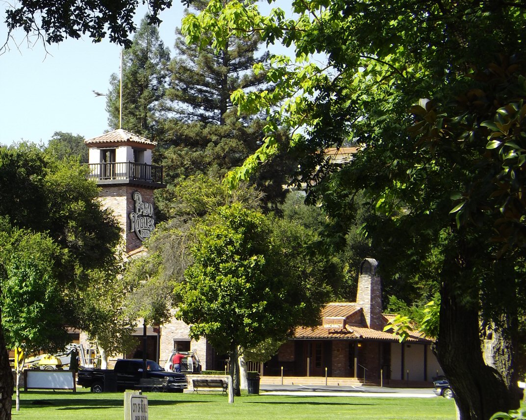
Paso Robles, California
On December 19, 1940, a cigarette discarded in a wastebasket started a fire on the second floor of the Paso Robles Inn. Night clerk J.H.…
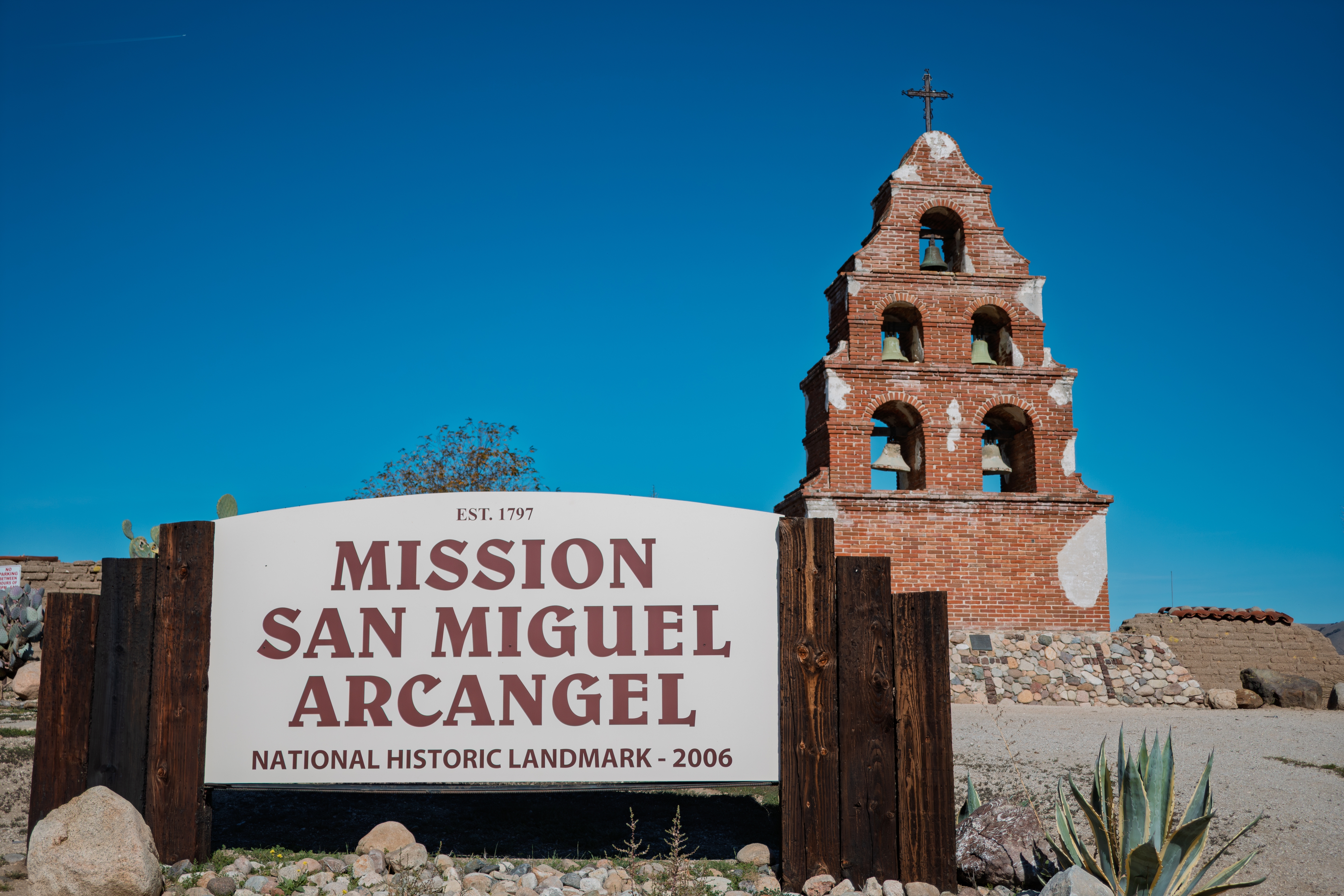
San Miguel, California
Mission San Miguel Arcángel was founded in 1797. After secularization it was sold, and by 1848 William Reed was running it as an inn and…
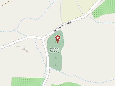
Adelaida, California
Adelaida was settled in 1859 and grew up around mercury mines, farms and sheep ranches; the cemetery was started by Wesley Burnett in the…
Sign in to leave a comment.